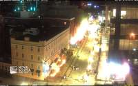
Argyle Street
View of Halifax's popular downtown entertainment district


View of Halifax's popular downtown entertainment district
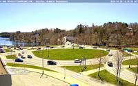
View from the Armdale Professional Center towards Roundabout and Northwest Arm
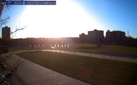
Live camera from the Emera Oval courtesy of Halifax Regional Municipality.

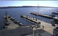
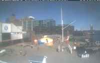
View from Murphys Cable Wharf in northerly direction towards Ferry Terminal. Home of Theodore Tugboat.
View from the Aqua Vista at King's Wharf towards the waterfront of Halifax: Ocean terminal, Pier 21, Boardwalk with Cable Wharf, Purdys Wharf and Casino Nova Scotia.
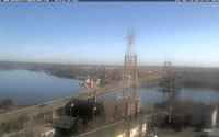
Watch the traffic on the A. Murray MacKay Bridge and ship traffic into Bedford Basin.
View from the roof of the Maritime Museum in various directions.
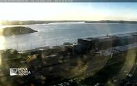
View from the Westin Nova Scotian Hotel to Georges Island, Port Authority, Seaport Farmers Market, Pier 21-22 and McNabs Island.

overlooking Queen's Marque
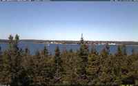
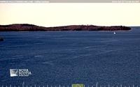
This camera is located about 30 minutes south of Halifax. View from Bald Rock towards Crystal Crescent Beach and Sambro.
View from the Maritime Museum of the Atlantic towards the Wave